menu
expand_more

Rodopi Mountain Bridges

In the northeastern part of Greece, north of the Regional Units of Drama and Xanthi, the mountain range of Western and Central Rodopi marks the natural border between Greece and Bulgaria.

The stone arched bridges that are scattered along the Rhodope Mountains also have their own special history in human societies.

They may be small in size and mostly unknown, yet they continue to be remarkable examples of folk architecture, part of the cultural heritage of the place and important historical evidence.

The Bridges

The four bridges are located in the mountainous area of the Municipality of Paranesti, close to the settlements of Dipotama and Trachoni.

These are the bridge in the Tsoukali stream, the bridge in Vathirema (known as Balaban bridge), the palio filakio bridge in Arkoudorema and the bridge of Dipotama near the chapel of the Holy Spirit.

Tsoukali stream Bridge

41°21′39.198″N, 24°36′19.583″E

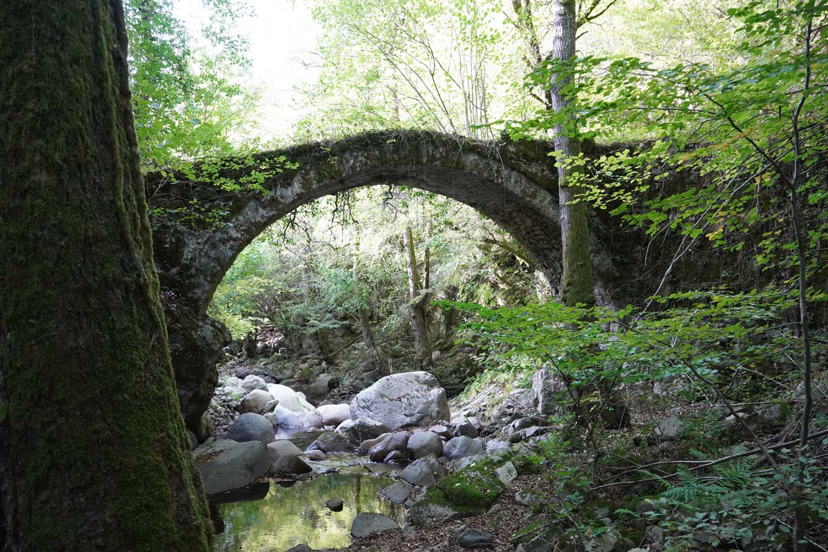
Small, single-arched, stone-built, vaulted bridge in the area of Dipotama that connects the banks of the Tsoukali stream, which joins the Arkoudorema stream in the village of Dipotama.

The path starts at the country road, crosses the bridge and approaches the dirt road to the east.The total length of the path is 350 m.

It is the bridge
Between
Now and forever
The bridge of fear
And are we crossing over?
It is the bridge between
Possibility and doubt
Will we stay stuck
Or are we willing to try?
It is the bridge between
Who we are and
What we could be
Will the distance
Abide
Or will it be us
Eventually?
Are we ready
To venture
Cross this bridge
To our future?
Hold me tight
Let us take a chance
And bridge the gap
I am inclined
If you are
To cross the bridge
That leads to
You and I.

Nicole Bataclan, "Bridge"

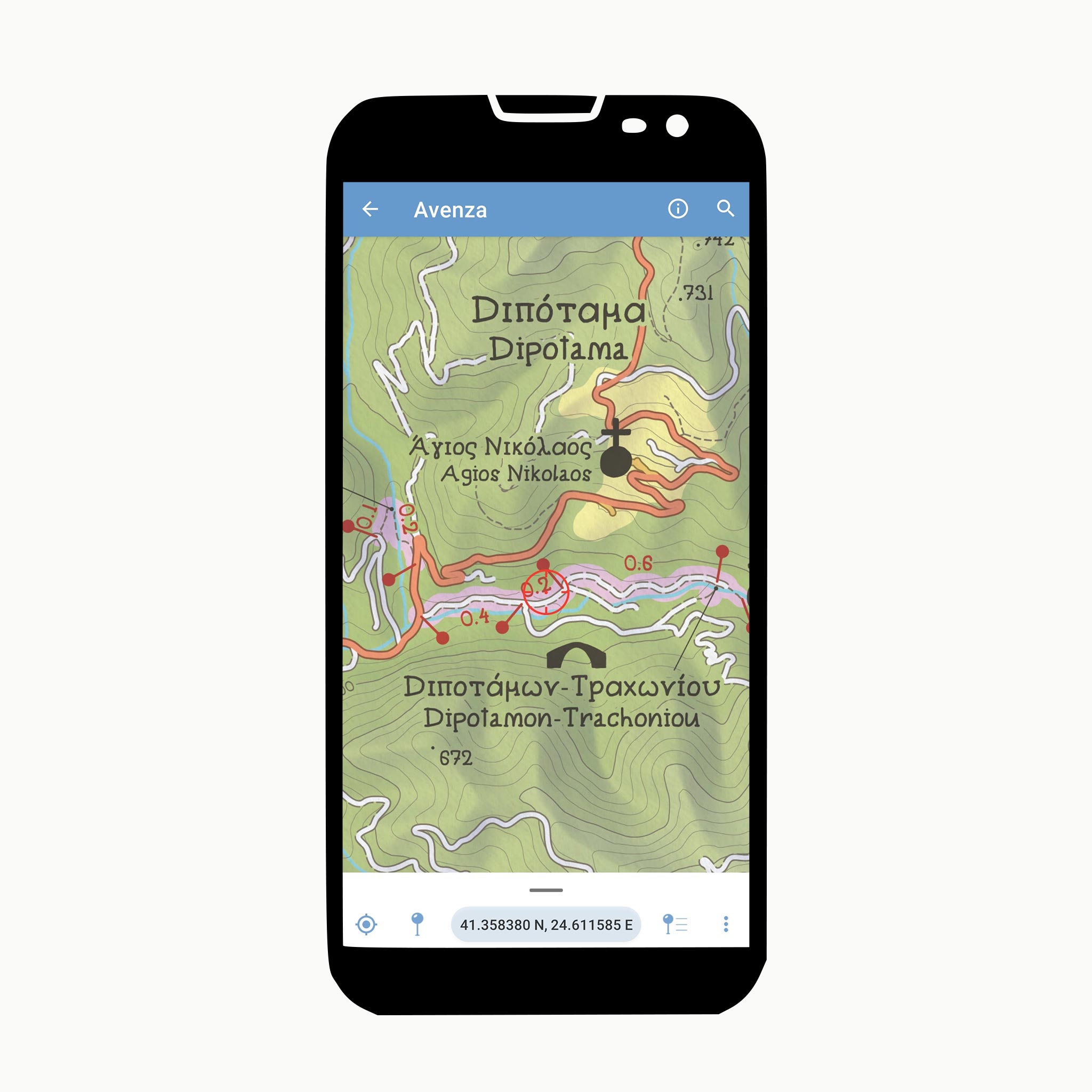
Dipotama Bridge

41°21′30.304″N, 24°37′05.921″E

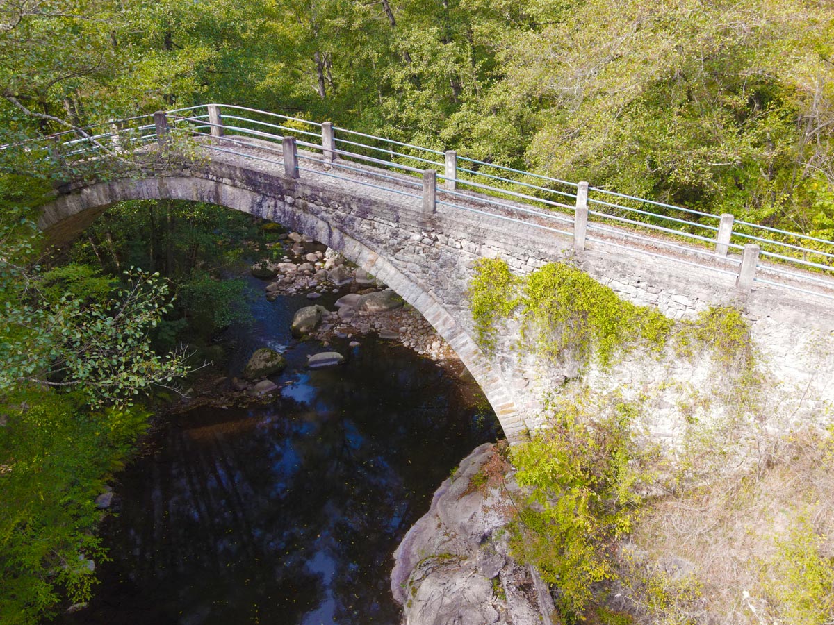
The Dipotama bridge is an acute arched bridge over the Arkoudorema stream with characteristic hydrophilic vegetation. It is located north, in the Trachoni - Dipotama Forest Complex (Lepida forest), near the abandoned settlement of the same name and belongs to the Municipality of Paranesti.

Around 1930-1940, the bridge was repaired and the side walls were added, on which iron railings were placed to protect people and animals passing through.

The villages it served were those of Dipotama and Trachoni, which have now been abandoned.

A few meters away is the chapel of the Holy Spirit, also reffered to as a handcrafted chapel as it has been built with stones from the river by the hands of twin brothers. The dirt road from the asphalt to the Dipotama bridge is 1.2 km. The section from the bridge to the church of the Holy Spirit is 110 m.

Over the bridge of friendship
How many time I've gone
Sometimes I'm met in the middle
Sometimes there is no one

Sometimes I am too weak to cross
Sometimes I am too strong
But crossing the bridge of friendship
That never can be wrong [...]

James H. Webb, "Over the Bridge of Friendship"

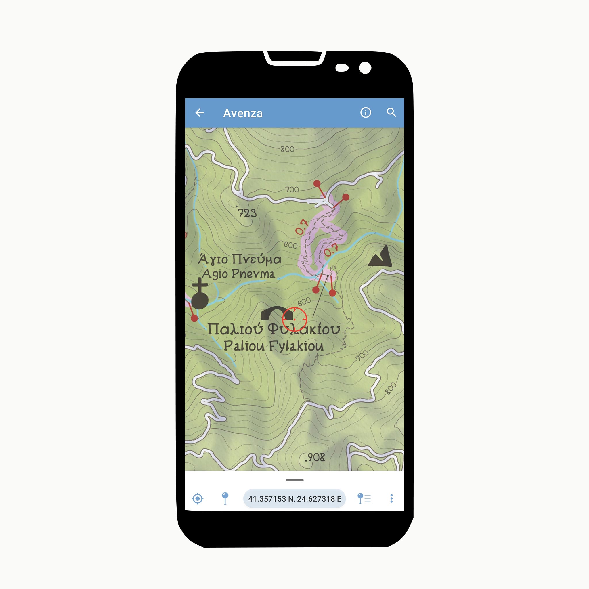
Palio Filakio Bridge

41°21′34.526″N, 24°37′47.377″E

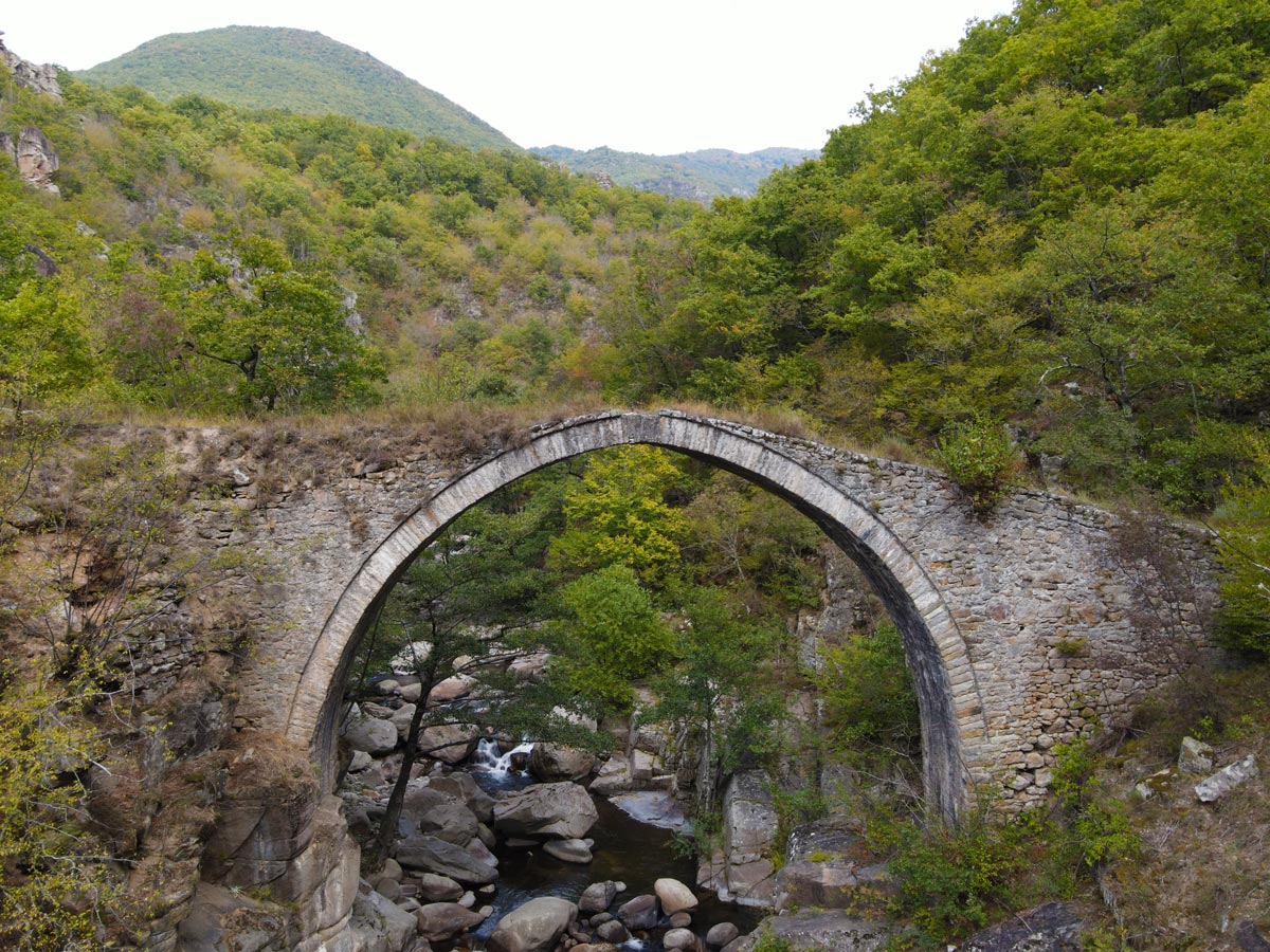
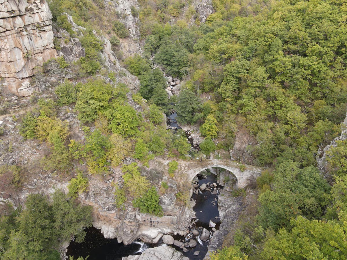
It is a stone and single-arched bridge and is lying under the shadow of steep cliffs. It is the largest of its kind in Eastern Macedonia.

It is located across the same stream as the bridge of Dipotama. This is the starting point for two paths that lead to the bridge which can create a circular route. Both footpaths have an approximate length of 850m. each. The western path is under dense forest and the eastern one offers spectacular views.

There is a bridge across the raging river
Bridging the gap from between destinations
As if the river is conquered to submission
The thick pillars taking the onslaught
Of the strong undercurrents underneath
People from all walks of life, walk across
Creating bridge among people’s life
It’s an exchange of ideas and skills
Between the two separate destinations
As successfully bringing the society together
The bridge stands strong and allows a free passage
Bearing no discriminatory thoughts
Building bridges, to reach out to each other
Acting as the lifeline for so many people
In times of eventualities, happy or sad
The bridge is testimony to so many occurrences
Patiently serving the multitude
Cushioning them from the fury of the river
It’s concrete in its resolve to protect
To bridge the differences in people’s hearts
Build new bridges to reach out to everyone
Mend the cracks in time, to take care of the bridge
For, it will withstand all the fury and help bridge the gap

Amitav Radiance "Bridge"

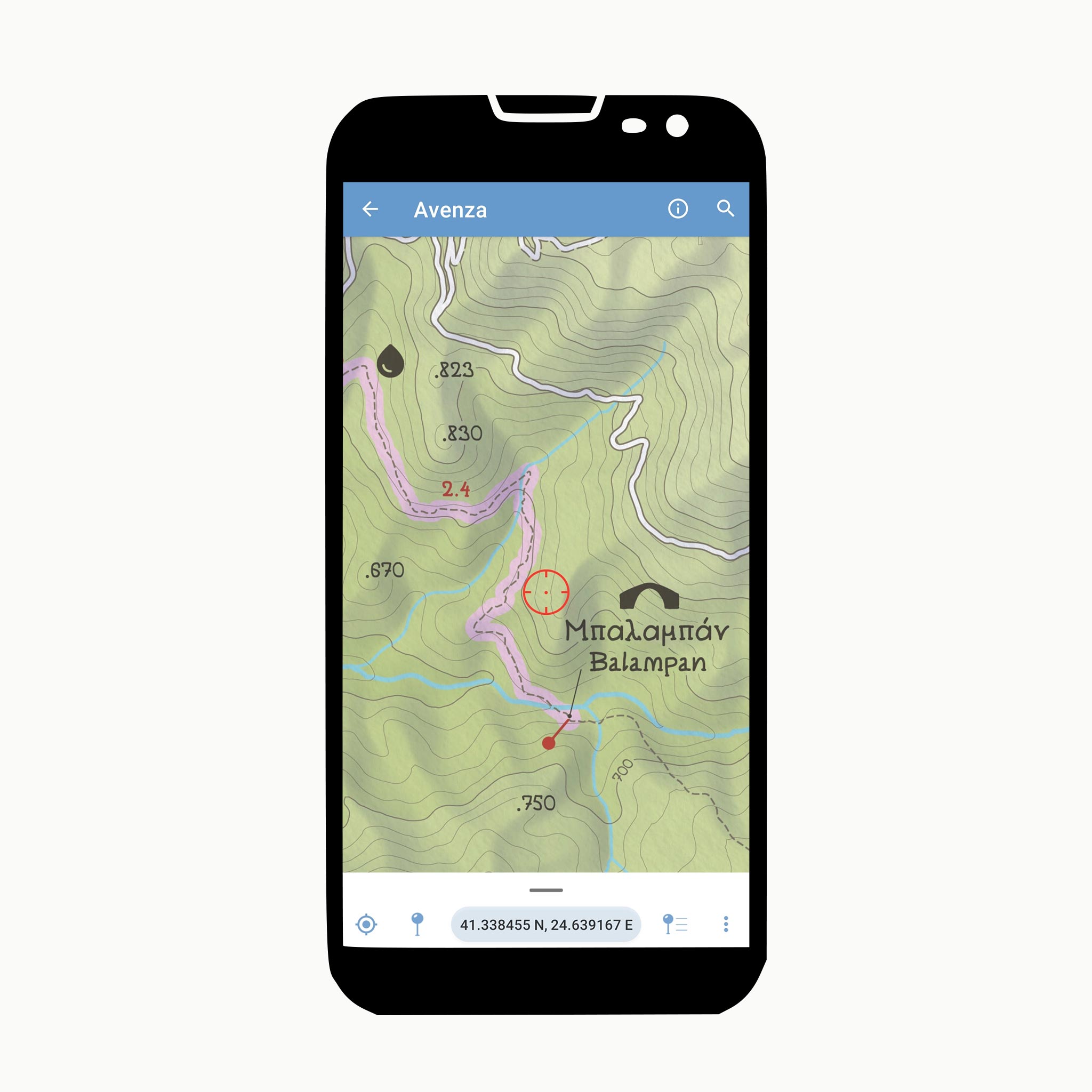
Vathirema or Balaban Bridge

41°20′04.771″N, 24°38′24.146″E

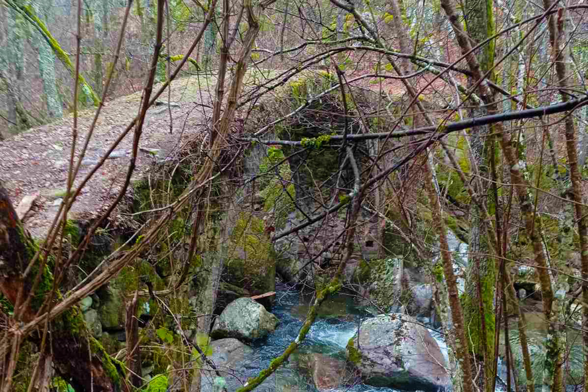
Single-arched - stone bridge with unkown date of construction and with remarkable durability over time. The name Balaban, was an older name of the village Trahoni which had fewer than 500 inhabitants.

The distance from the settlement of Trachoni to the bridge is 3km and from the trailhead 2.7km. The path continues after the bridge and leads to the waterfall of Trachoni-Livaditis.

If the end of the world befall -
and chaos smash out planet to bits,
and what remains will be this bridge,
rearing above the dust of destruction;
then, as huge ancient lizards are rebuilt from bones finer than needles,
to tower in museums, so, from this bridge, a geologist of the centuries
will succeed in recreating our contemporary world.

Vladimir Mayakovsky, "Brooklyn Bridge"

Information

Getting Here

The area of Dipotama - Trachoni is accessible by car. It is located about 20 km northwest of the settlement of Paranesti. Paranesti is located 39 km from the city of Drama. It is accessible by car and bus.

Getting Around

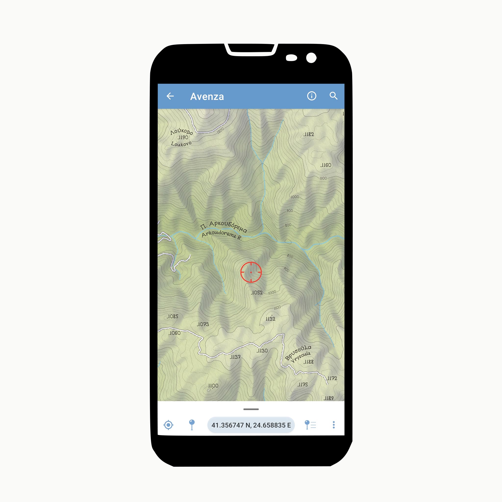
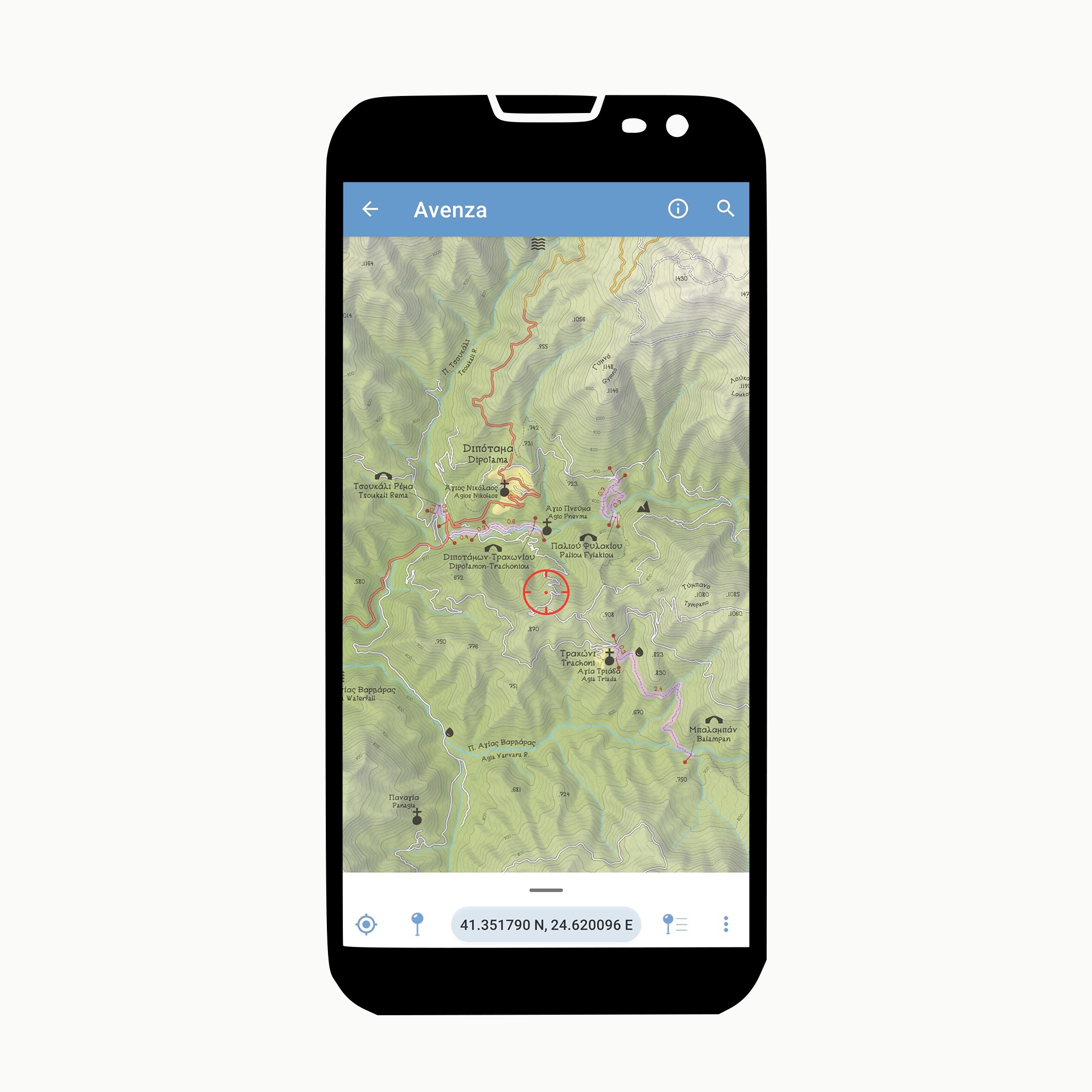
You can easily and safely navigate the paths and bridges with the help of the Area Map, which you will see on your mobile phone through the Avenza Maps application.

Just install the app and then download the Map from here.

The application works without internet access, through the built-in GPS function of your device. Instructions for using the Avenza Maps application can be found here.

arrow_circle_left arrow_circle_right

Useful Phone Numbers

Management Body: 2521351417
Medical Centre: 2524022171
Emergency Police Number: 100
Fire Brigade: 199
European Emergency Number: 112

Equipment

Hiking boots, hat, sunscreen, long trousers, walking poles are considered essential. It is also advisable not to walk alone and to always keep with you a first aid kit. A torch, and a well charged mobile phone are also advisable.

Walking – Ethics

Take only memories, leave only footprints! Ants and other insects or animals have not yet discovered how to consume plastic. Take all rubbish back with you.

Don’t start a fire if you feel cold! Try to walk faster!

Smoking on the trail will not help in anything! Nor you, nor the risk of fire!

Local people are not a tourist sight! If you want to take a picture, kindly ask. They will certainly smile to you!

If you find a door on the trail, pass freely, and leave it as you found it!

Stay on the trail. There is a reason why for many centuries people chose to walk on them and not elsewhere!

About

Funded & coordinated by

Regional Unit of Drama

Acknowledgements

Φορέας Διαχείρισης Οροσειράς Ροδόπης

Contractor - clearing routes - improving accessibility

Greenlife - Green Works

Supervision & Copywriting

Social Co-operative Entreprise "Paths of Greece"

Printings

CloudPrint

Visual Identity

Instinct

Design and implementation of the present WebGIS application

Staridas Geography #MakingMapsPretty

The present WebGIS mapping application has been designed with the Leaflet.js API for JavaScript.

It consumes as basemaps the cartographic web services of Carto Positron, OpenStreetMap, Esri World Imagery and Hellenic Cadastre Orthoimagery.

Contact

Social Co-operative Entreprise "Paths of Greece"
info@pathsofgreece.gr